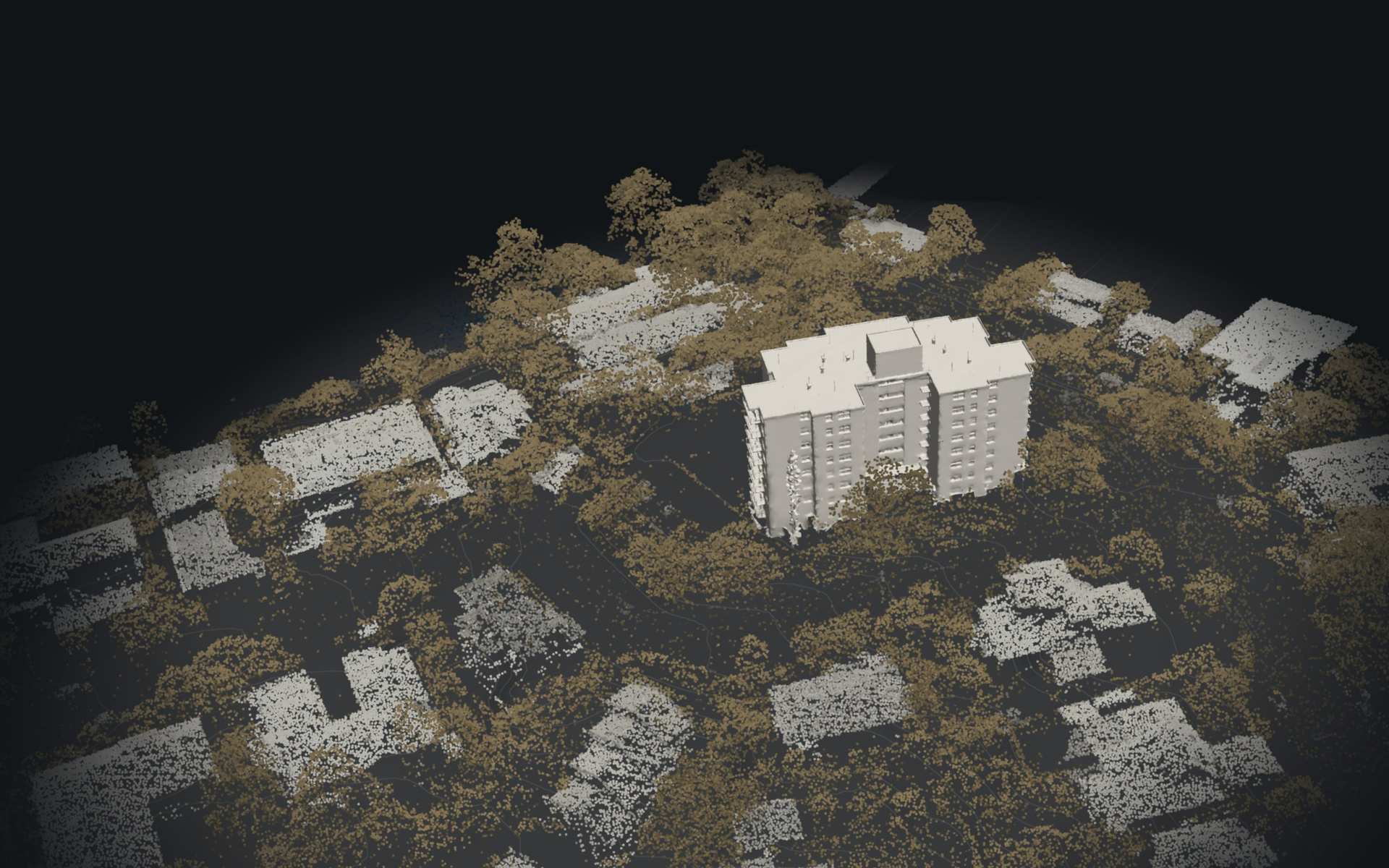
The 3D model could not load on this device.
St Lucia · Investigation, methodology and remediation planning
- Position accuracy
- ±2.7 cm
- Drone photos
- 315
- Points captured
- 1.6 M
- Surface modelled
- 6,900 m²
Site LiDAR: Queensland LiDAR Data, Brisbane 2019 Project © State of Queensland, CC BY 4.0, recoloured and thinned.
Defect detection
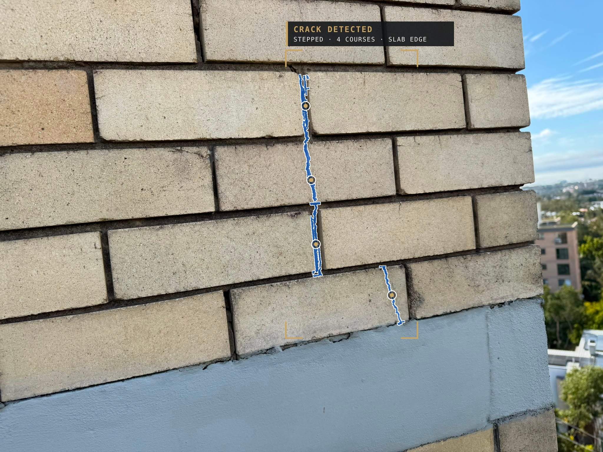
Automated Crack Detection
We run crack detection across the drone photography. At St Lucia it found a stepped crack through four courses of face brick at a slab edge and located it on the model.
See It on the Model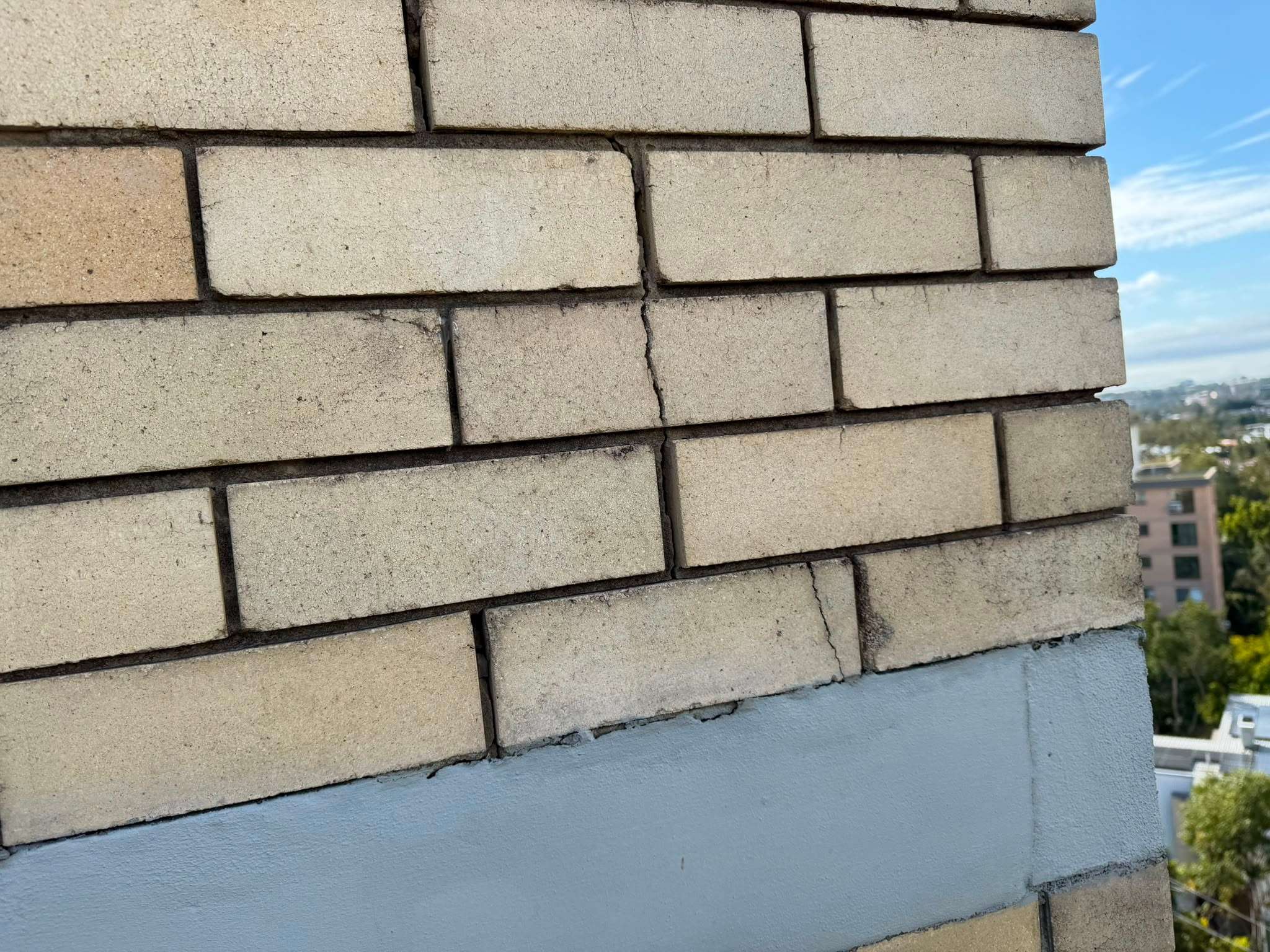
On site
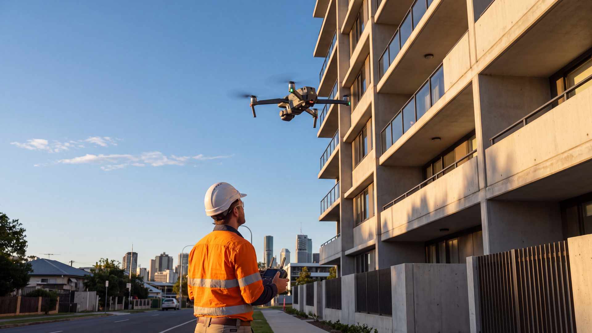
Captured Before Work Begins
We capture the site, model it and plan the work on it before trades mobilise.
What we use it for
Applications
From the first inspection to the final handover.
Facade and Roof Inspections
Every panel, joint and roof sheet, inspected on screen before anyone goes up.
4D Planning
The programme played out on the model, stage by stage.
Detailed Methodology
Access, lifts, hoarding and sequence, worked out on the real building.
As-Constructed Capture
A measured record of what was built, and when.
Quality Assurance
Finished work checked against the model and the design.
Discuss Your Site
Talk to our team about capture, planning and delivery on your building.